 Tape in cm.
New England Soil Profiles
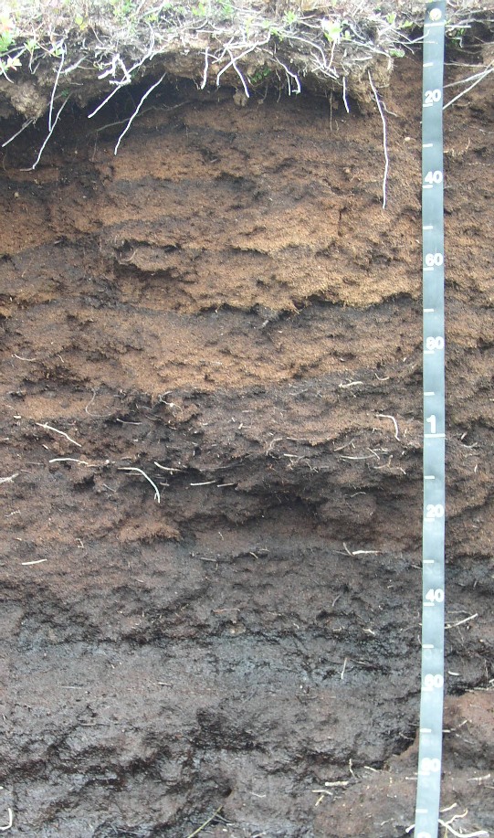
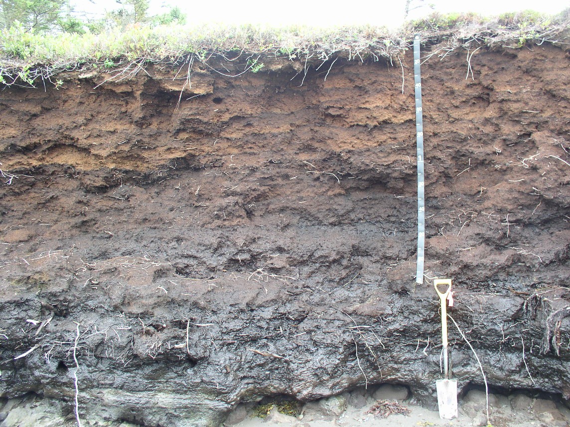
Peat Outcrop (Mossabec Series)
Tape in cm.
This is a large outcrop (a deep cut exposing soil and geologic deposits) of a raised peat bog, refereed to locally as "Heaths" (Pronounced "hayths" locally and "heeths" by folks not from Maine). The outcrop is located on a coastal bluff (see topo map link below for a location map) facing north in the town of South Lubec, Maine. The area is interpreted to have once been an enclosed kettle bog surrounded by upland but land area to the north has been eroded away by coastal erosion Tides in this area are about 12 feet, some of the largest tides in the U.S., at high tide the sea water rises to the 2 meter mark of this outcrop. The soil mapped in this area is a complex of Moosabec and Sebago soils. The upper 150 cm of this photo consists of thick layers of fibric spangnum peat (Oi horizons - lighter colored soil) and thin layers of black sapric material (Oa horizons). From 150 cm to approximately 250 cm the soil consists mainly of black sapric woody organic material (numerous Atlantic White Cedar stumps occur at this depth). The mineral material below consisted of bog iron material (Bsm horizon??).
Photo by Jim Turenne, Photo Location: South Lubec Main, Quoddy Head Road, 44° 48.69'N, 66° 58.90'W (WGS84/NAD83)
http://www.topozone.com/map.asp?z=19&n=4963989.00013599&e=659597.000022999&datum=nad83
 Click
for wide angle view
Click
for wide angle view