Squamscott Series
Download soil profile locations for viewing with Google Earth
(500 KB KMZ file, requires Google Earth to be installed).
New
England Soil Profiles
Squamscott Series
Download soil profile locations for viewing with
Google Earth
(500 KB KMZ file, requires
Google Earth to be installed).
![]() (Link to Site)
(Link to Site)
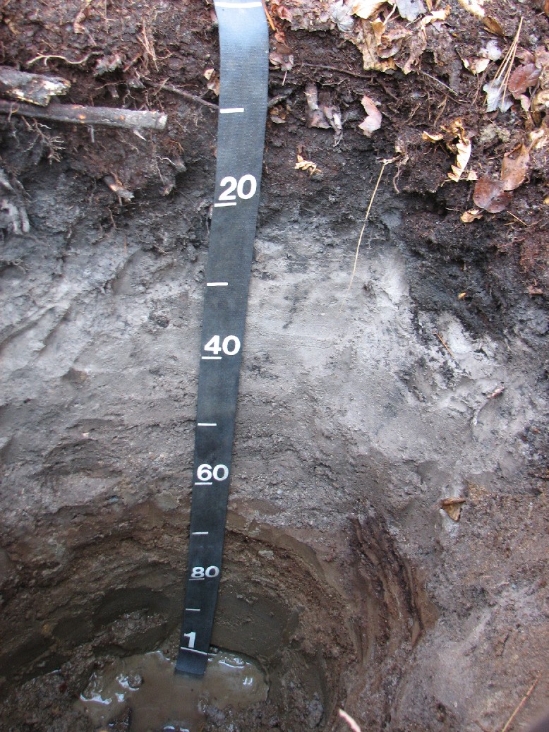
Ruler in centimeters
Squamscott soils are poorly drained soils formed in sandy eolian and/or fluvial deposits underlain by silty lacustrine deposits. Squamscott soils are mapped with Enosburg Soils - map unit 21A in Plymouth County. Click here for complete pedon description.
Photo: Rob Tunstead, location: Middleboro, Massachusetts. http://www.topozone.com/map.asp?lat=41.95648&lon=-70.92184&datum=nad83&u=4&layer=DRG&size=l&s=50
Back to Images 1 | Back to Homepage