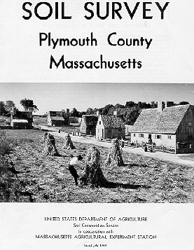
Status:
Currently out of print, published in 1969. Author: Charles
Upham.
Publication Scale: Order 2 mapping at
1:20,000 scale with minimum delineations 6-8 acres.
Base Map Imagery: Unrectified Black and
White aerial photography flown in 1964?
As a way to provide copies of the old soil survey field sheets, I have scanned the mapping in the published 1969 report at 100 DPI resolution and converted them to GIF images and uploaded them to this server. Due to limited server space, I could not split the sheets into three pieces to allow for overlapping of map edges, this may cause problems if your area is on the edge of the photo. Try downloading the map to the east or west to see if the map unit symbol is visible. If you want a copy of the map sent to you by mail call the soil survey office (401-822-8830) or fax (508-291-2368) a location map for the area.
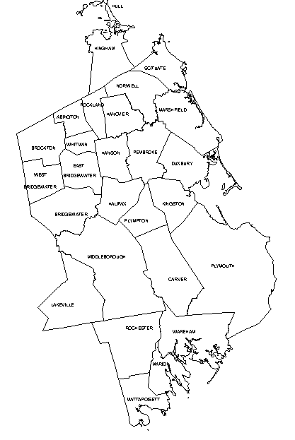
The Index map below is split into two sections for Northern and Southern Plymouth County, Massachusetts. Click on the area you need to go to the index map of the field sheets.
Please Report Dead Links to: Jim Turenne