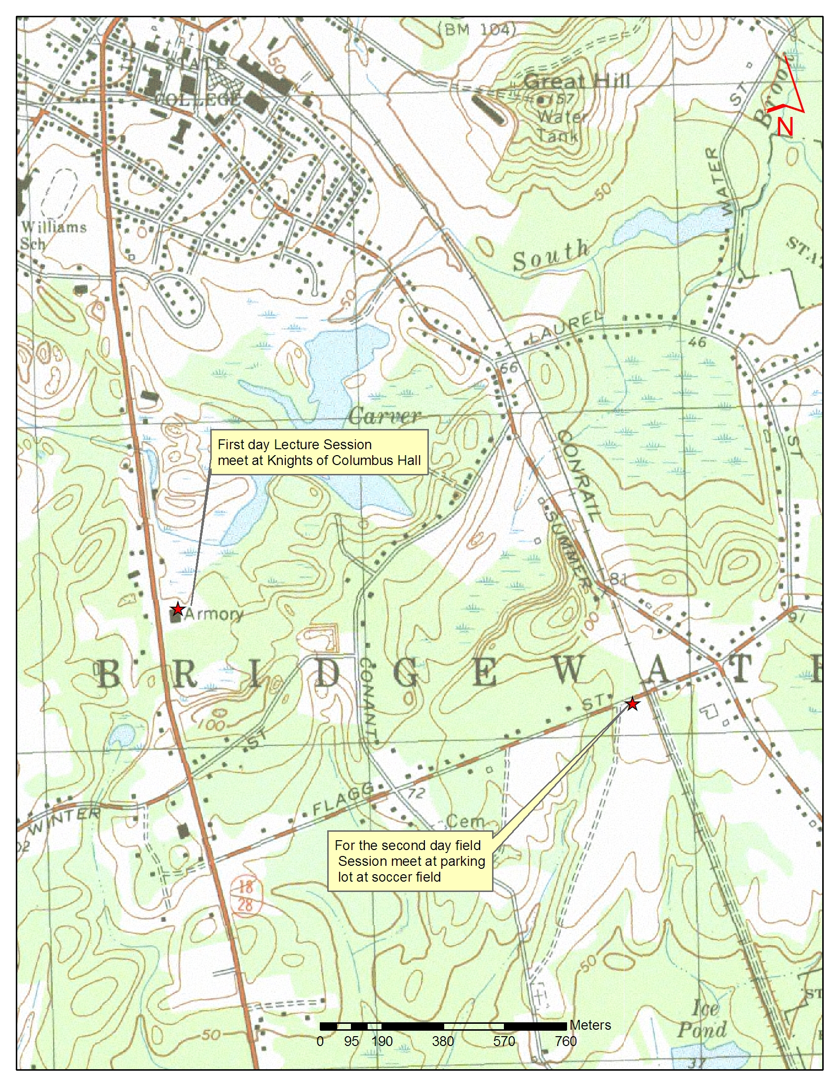
 - USGS Topo Map 1:12,000 scale of area with meeting location
2010 Soil Evaluator Training
Pete Fletcher's Resource Inventory Maps
All maps created using MassGIS Data Viewer: http://www.mass.gov/mgis/massgis.htm
Bridgewater Site Location Map: http://maps.google.com/maps/ms?hl=en&ie=UTF8&msa=0&msid=113798583893585652288.000448e69689209571bd0&ll=41.957448,-70.953484&spn=0.054253,0.1157&z=13
- USGS Topo Map 1:12,000 scale of area with meeting location
USGS Current Water Condition Data: http://ma.water.usgs.gov/current_cond/cwrc_gw.htm
Download all maps for Bridgewater - PDF document - to print set to fit to 1 page each.
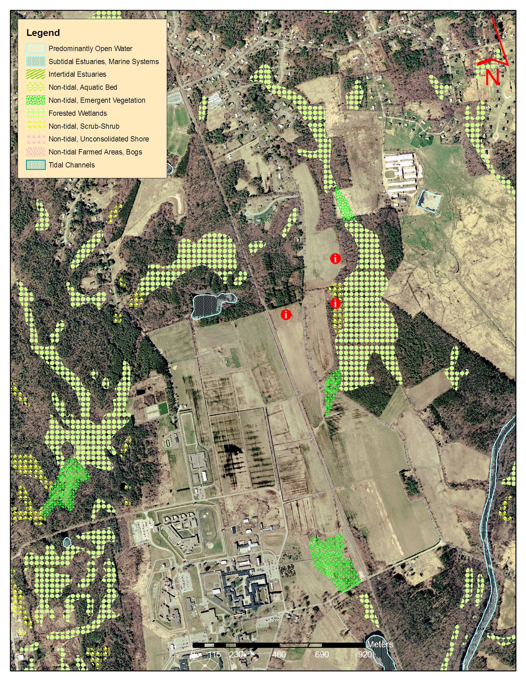
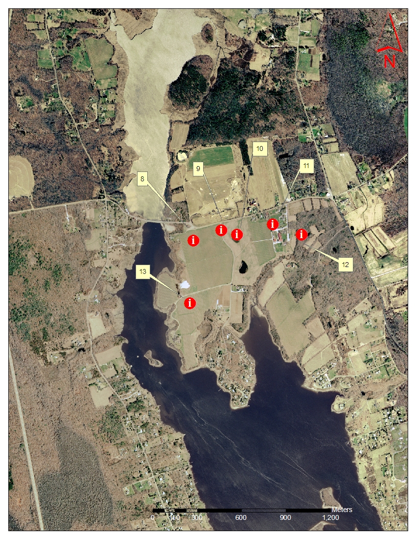
Pits 1,2 and 3 (All maps below are 1:12,000 scale) NOTE: Maps are 200 DPI to print to one page set printer to fit to page.
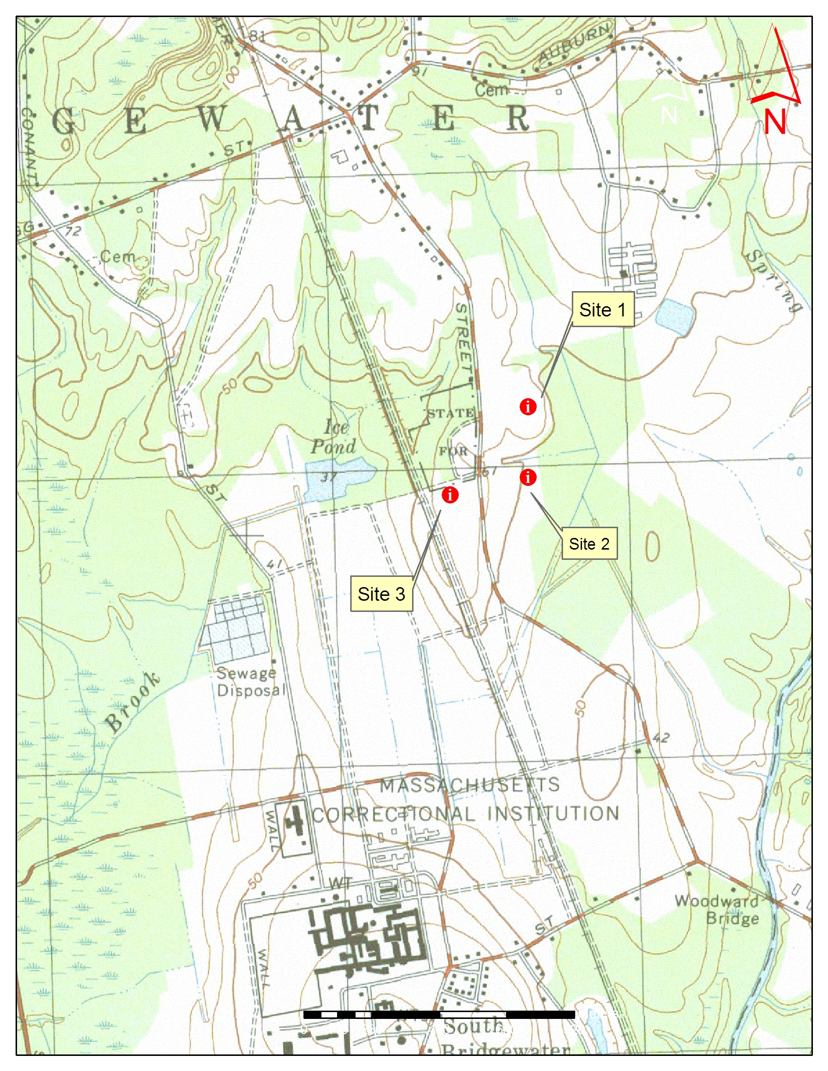 |
USGS Topo with sites 1, 2, and 3 1:13,000 http://www.mass.gov/mgis/im_quad.htm
|
 |
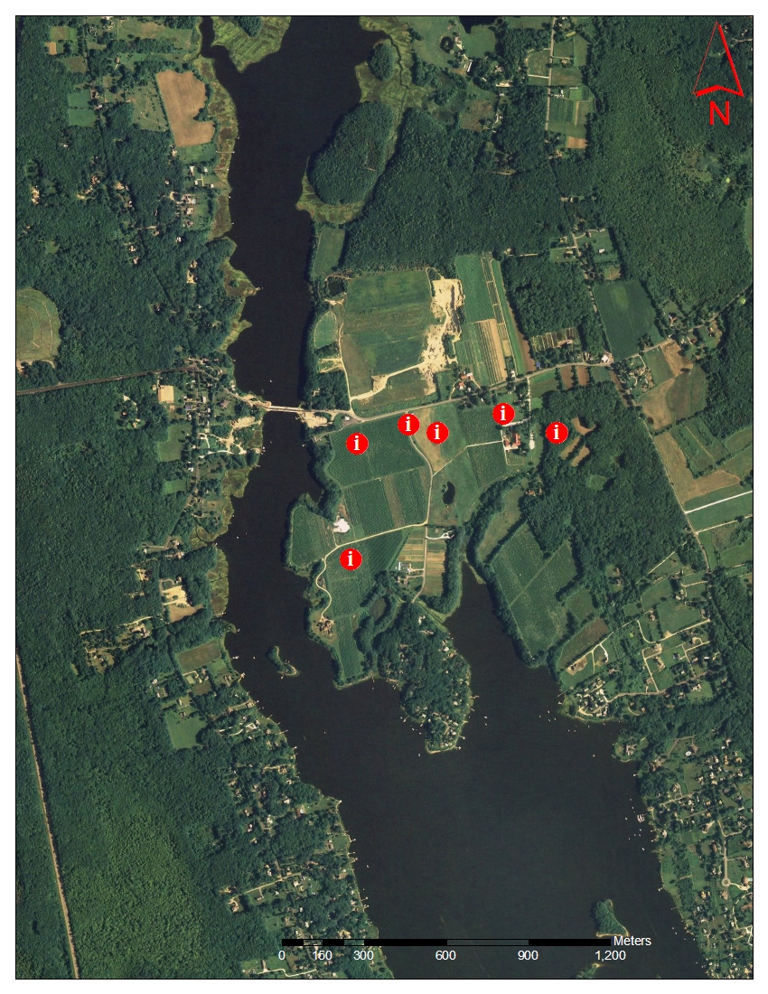
2008 True Color Ortho Photo 1:13,000
|
 |
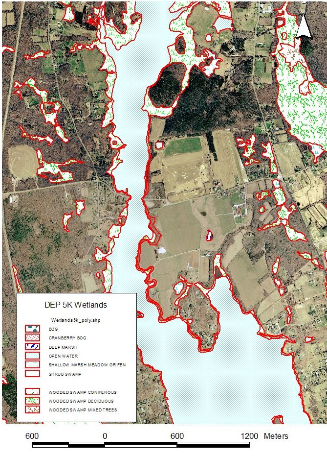
DEP 5K Wetlands on 2001 image 1:13,000 http://www.mass.gov/mgis/wetdep.htm
|
 |
NWI Wetlands 1:13,000 |
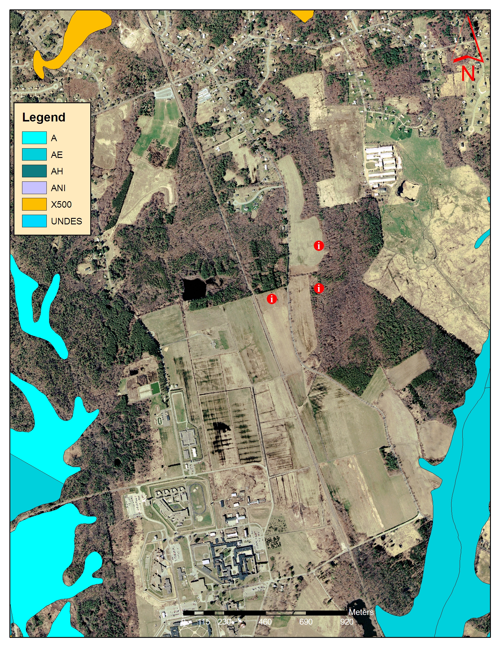 |
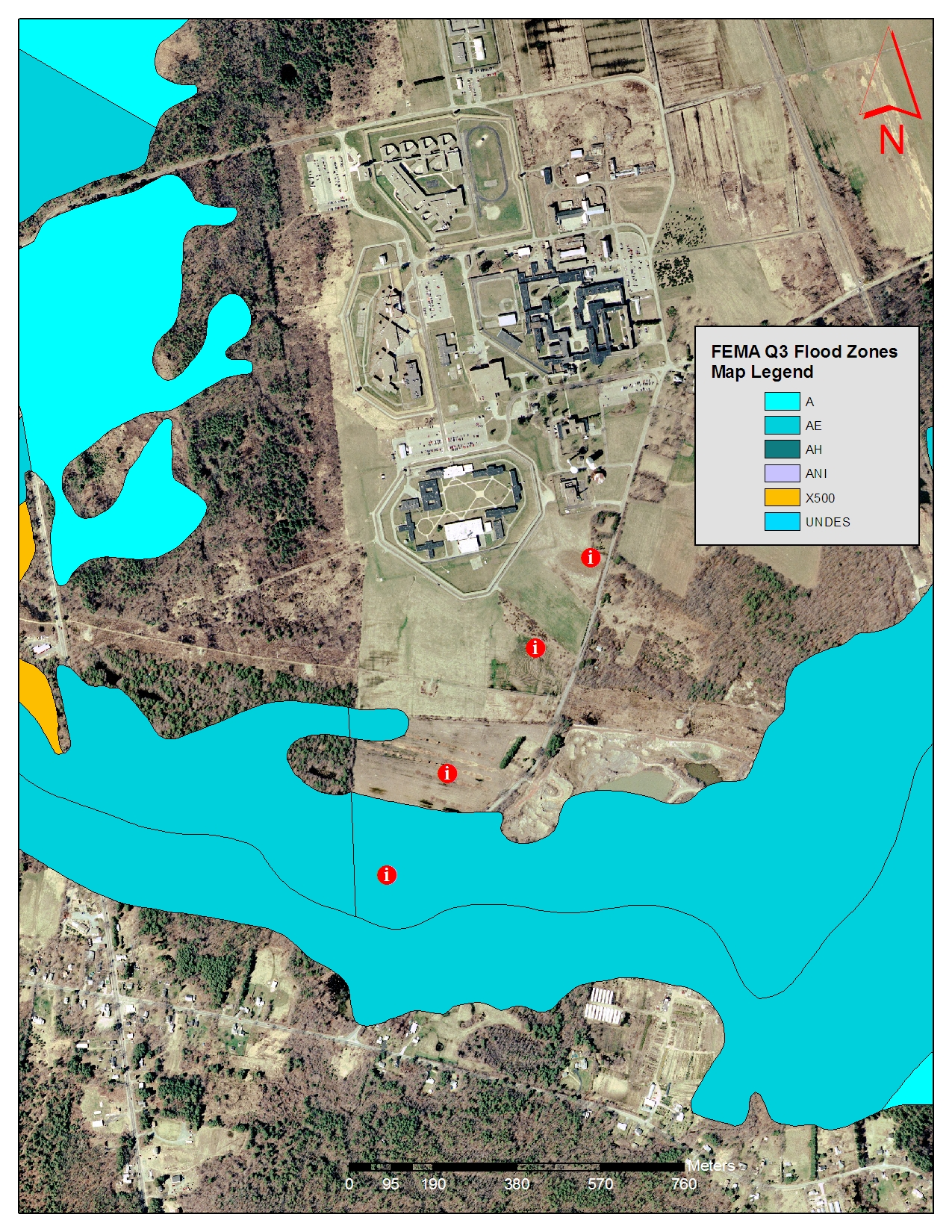
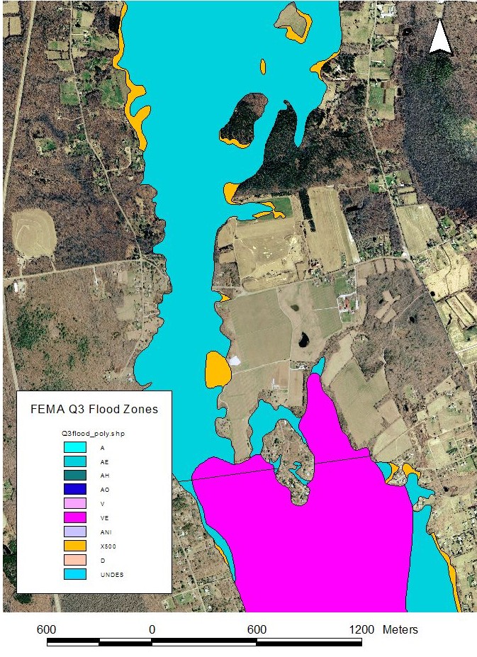
FEMA Q3 http://www.mass.gov/mgis/q3.htm
|
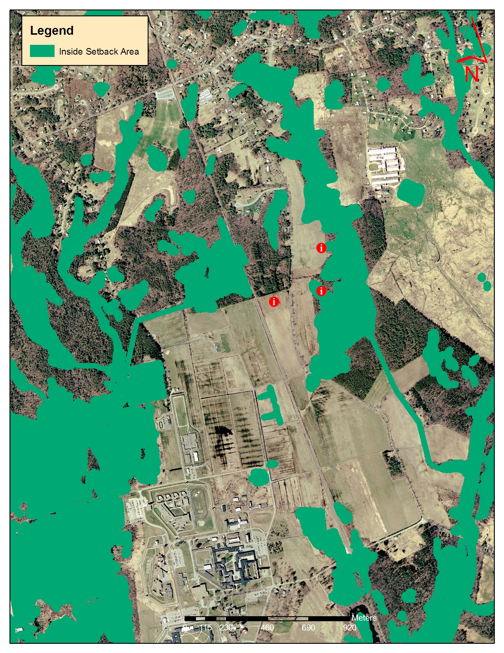 |
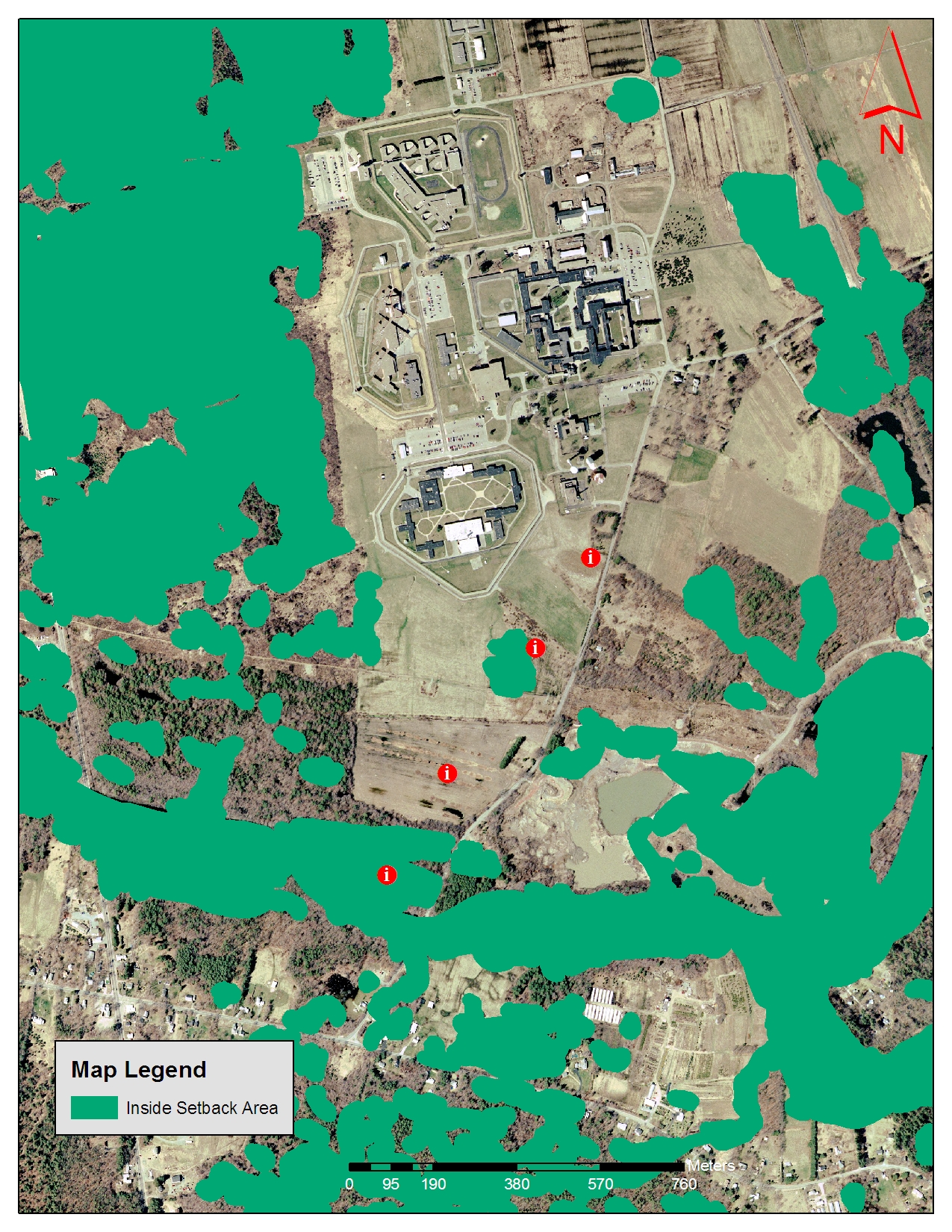
Title V Setbacks http://www.mass.gov/mgis/t5.htm
|
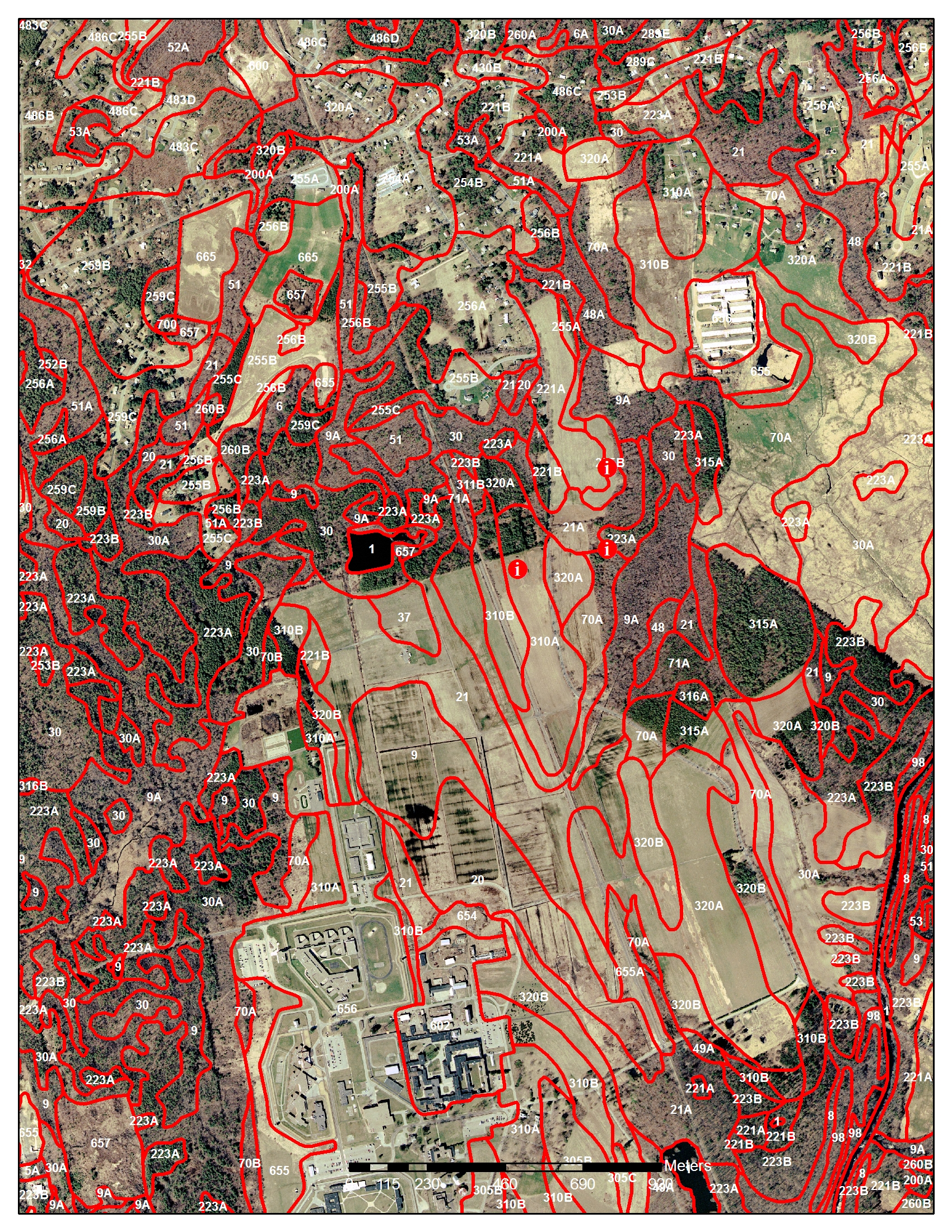 |
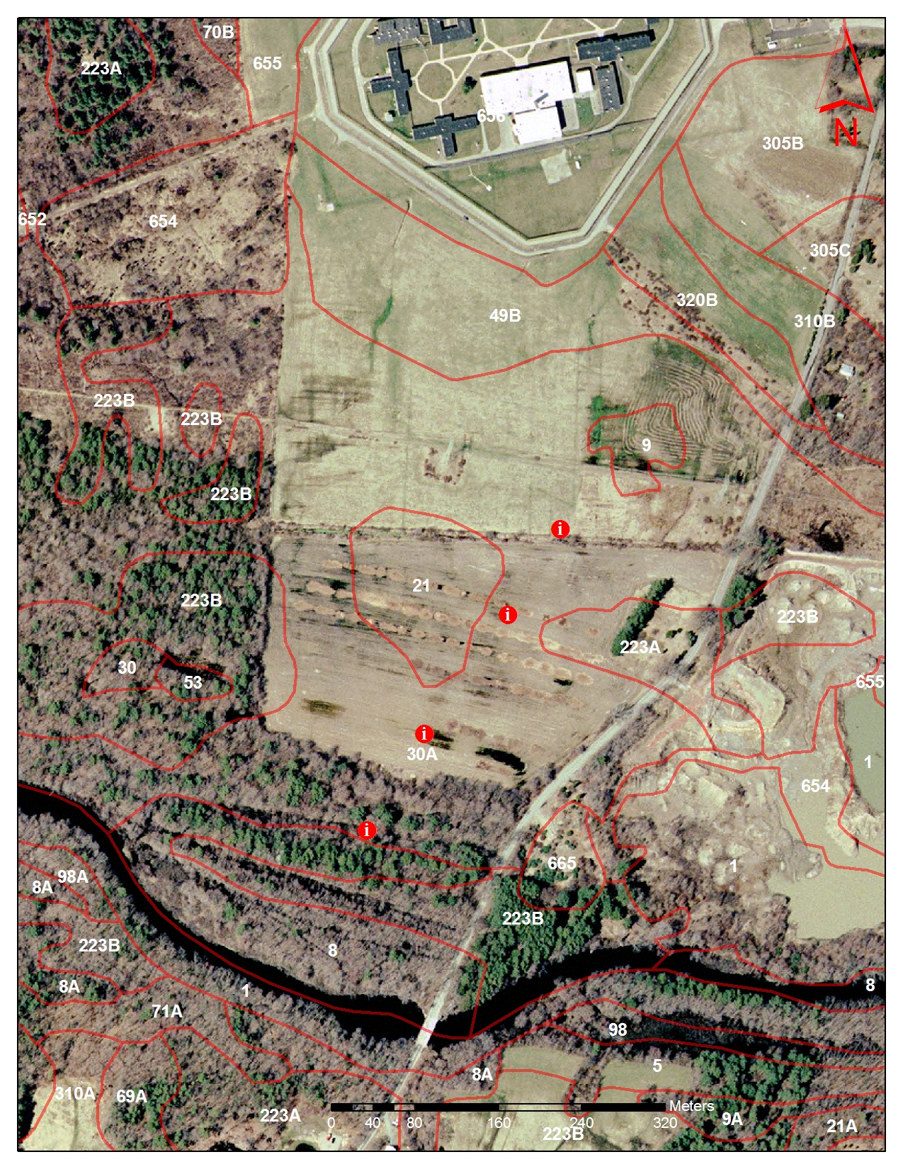
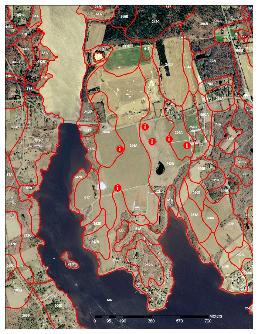
Updated Soil Survey (not published yet)
http://nesoil.com/plymouth/index.htm |
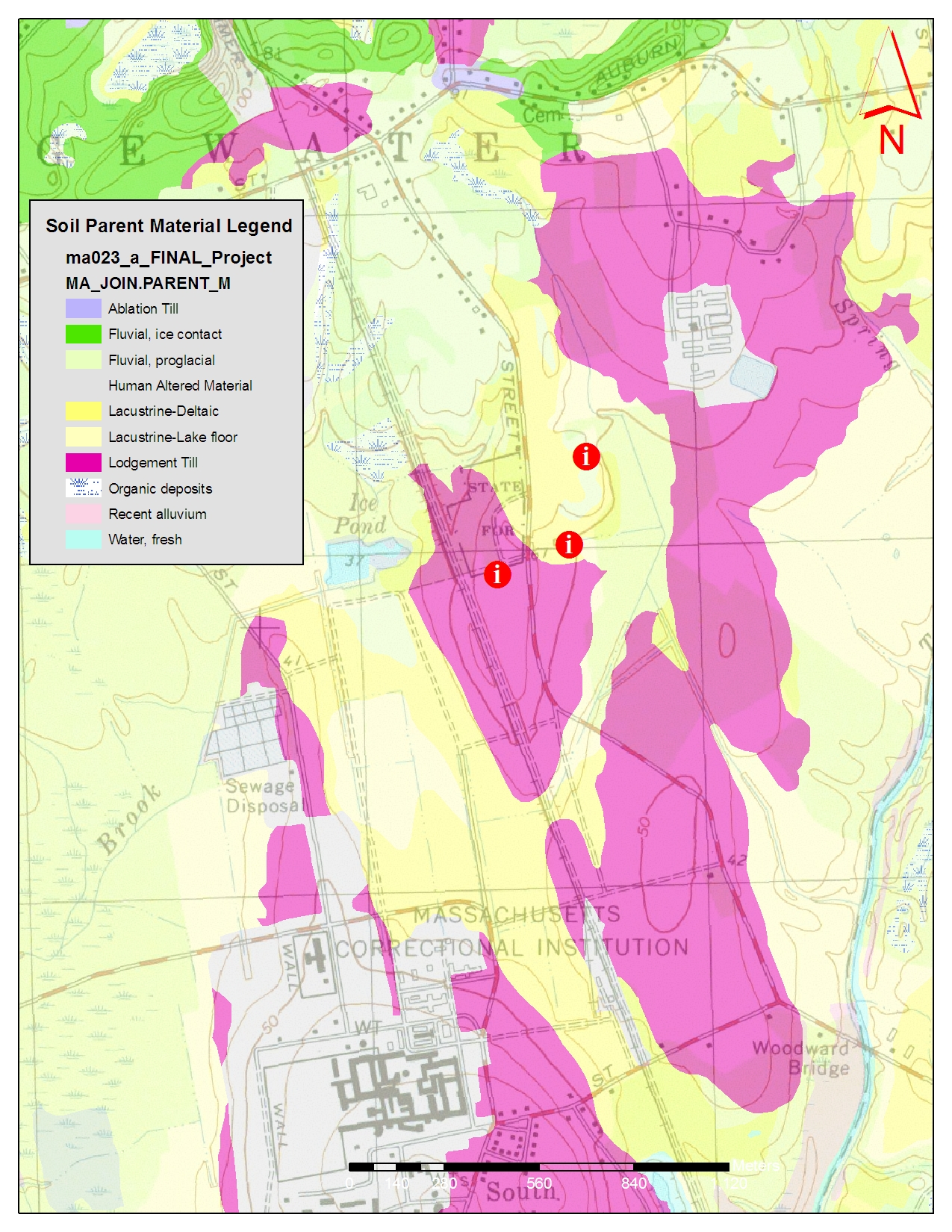 |
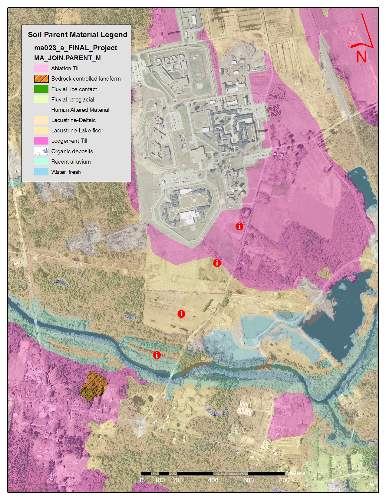
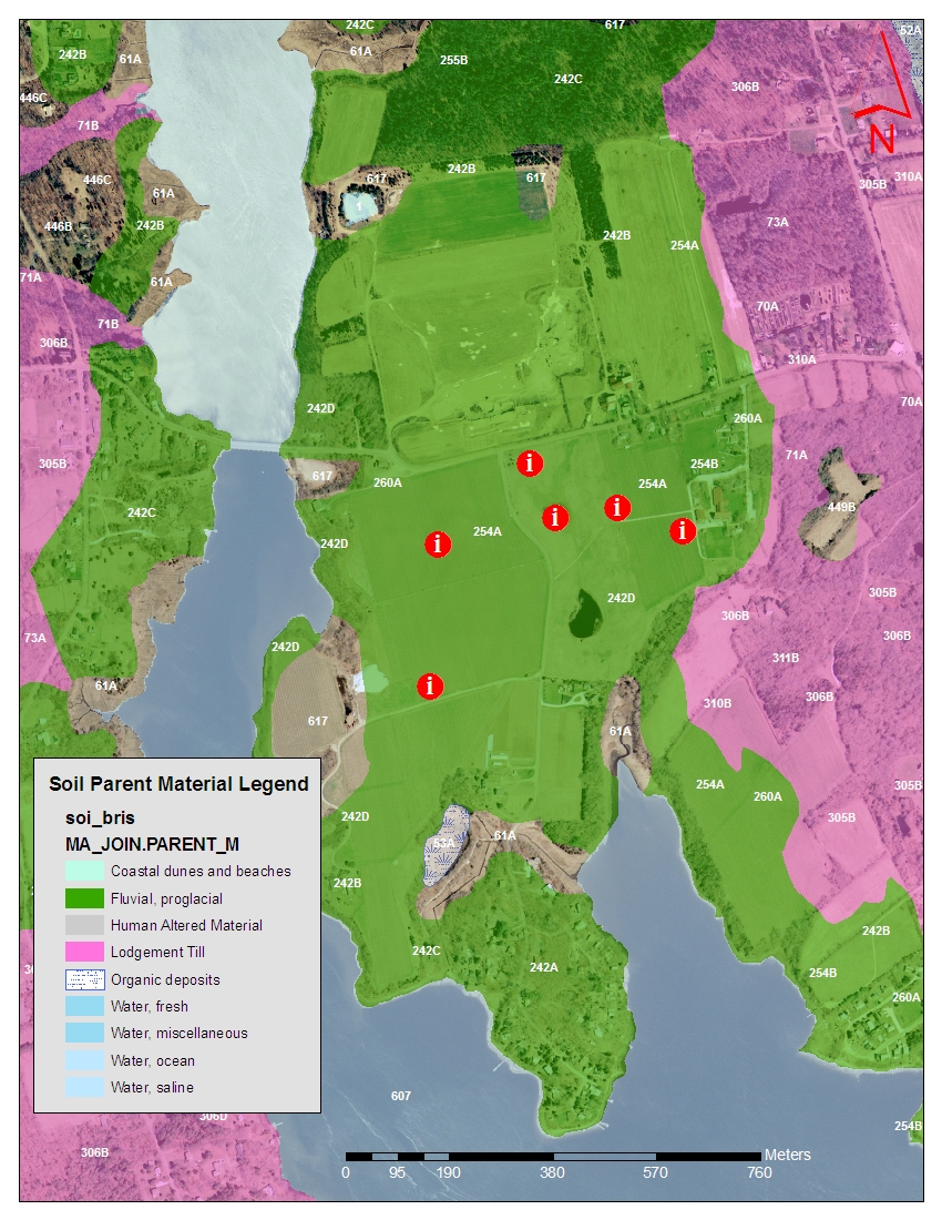
Soil Parent Materials Description of Units: http://nesoil.com/gis/sesoilcd.htm#attribute
|
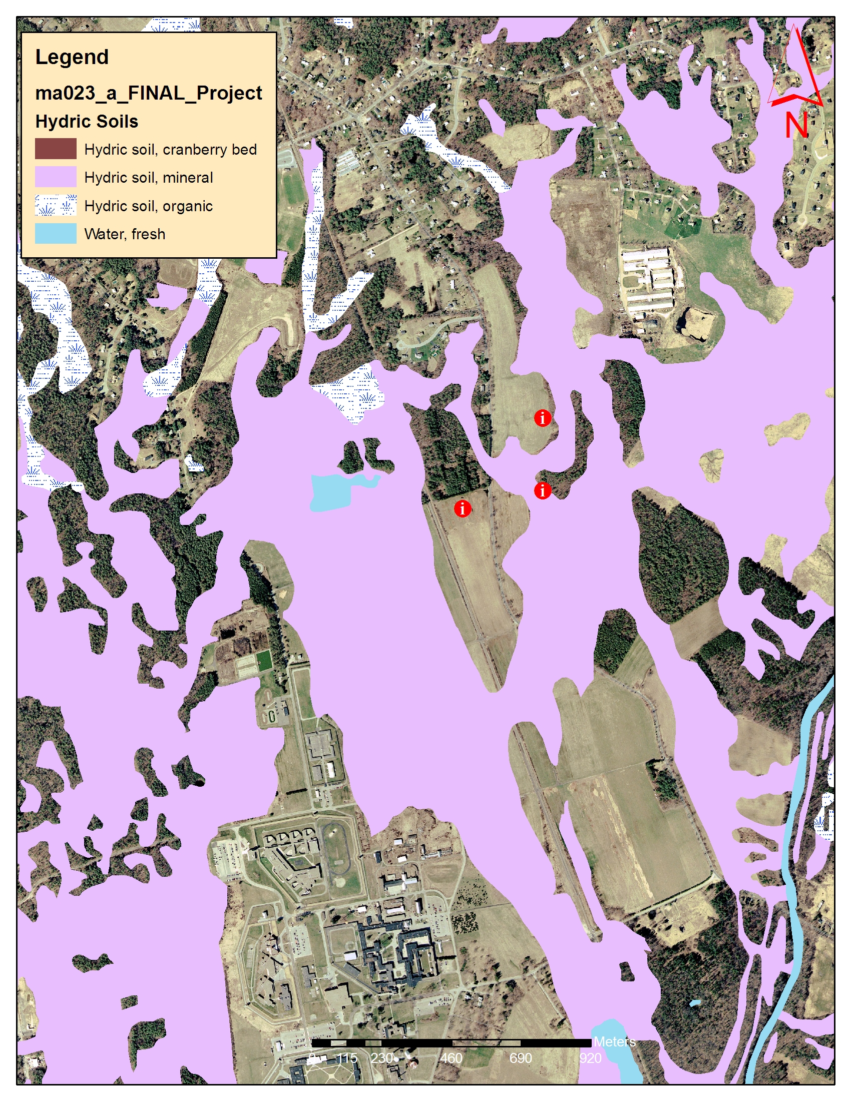 |
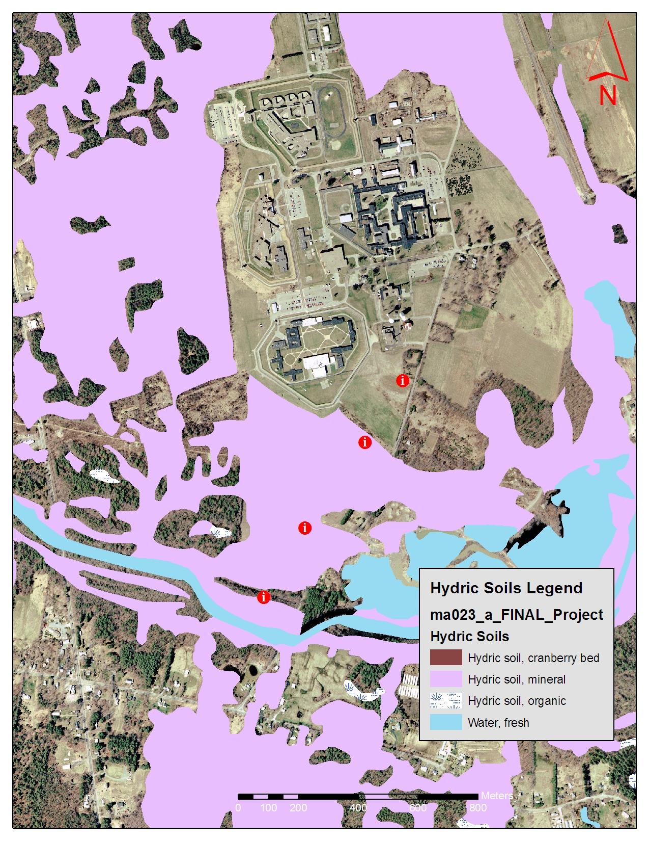
Hydric Soils Map
Description of Units: http://nesoil.com/gis/sesoilcd.htm#attribute |
Pits 4-7 All maps 1:10,000 unless noted
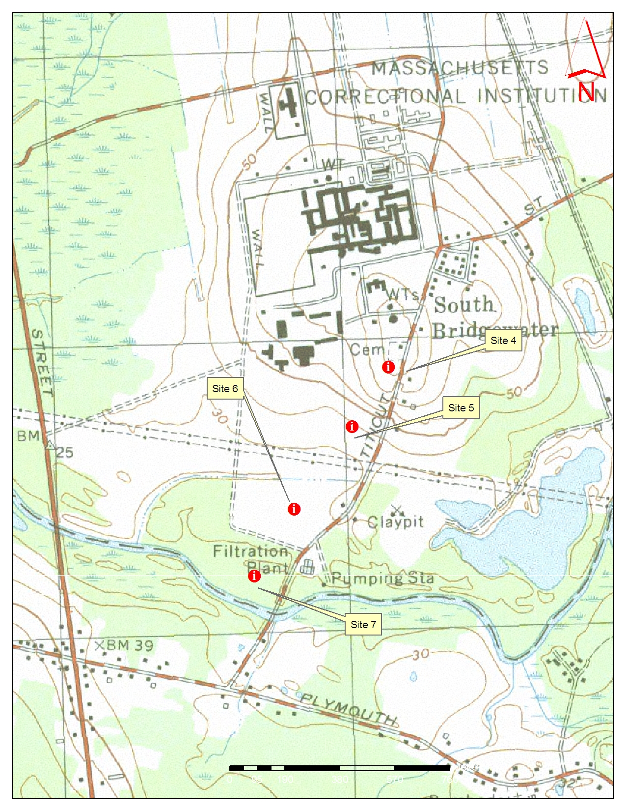 |
USGS Topo 1:10,000 http://www.mass.gov/mgis/im_quad.htm
|
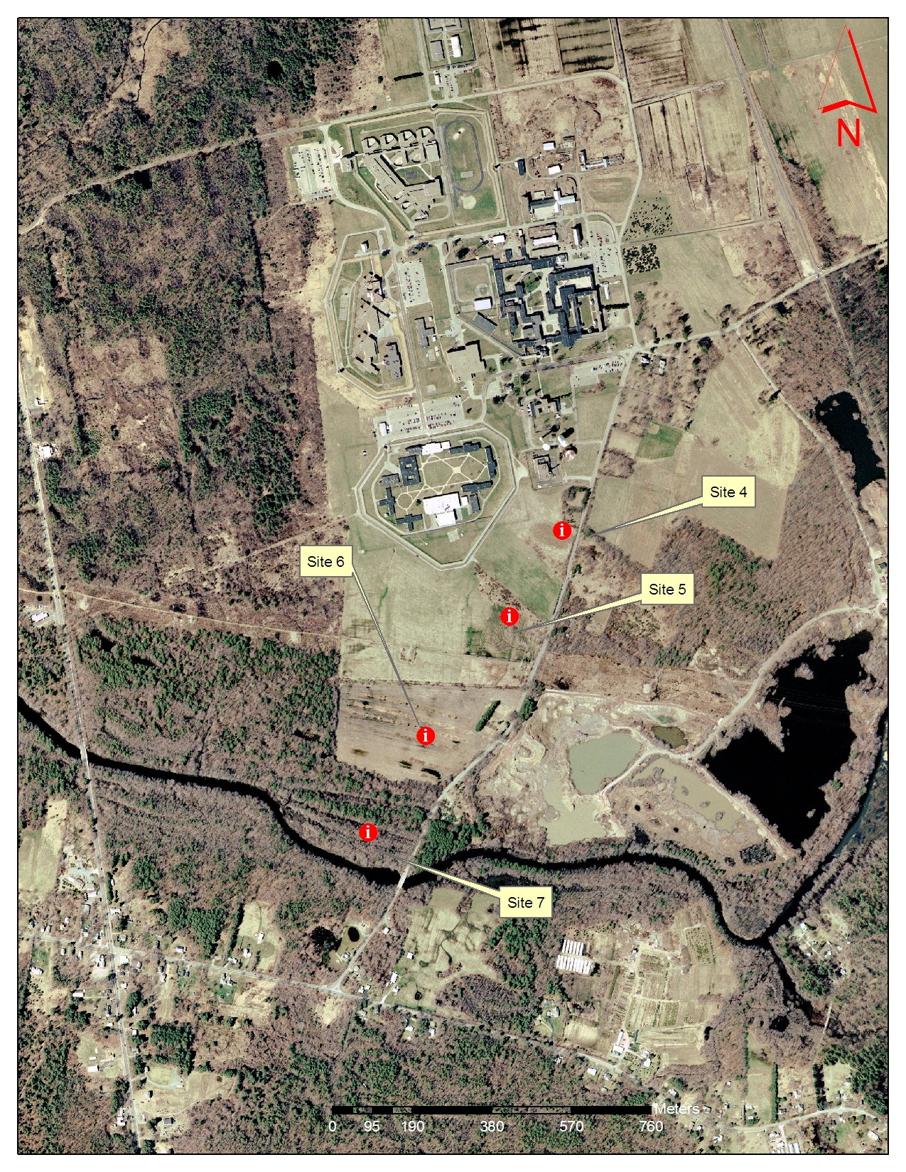 |
2001 True Color Ortho Photo http://www.mass.gov/mgis/colororthos2001.htm
|
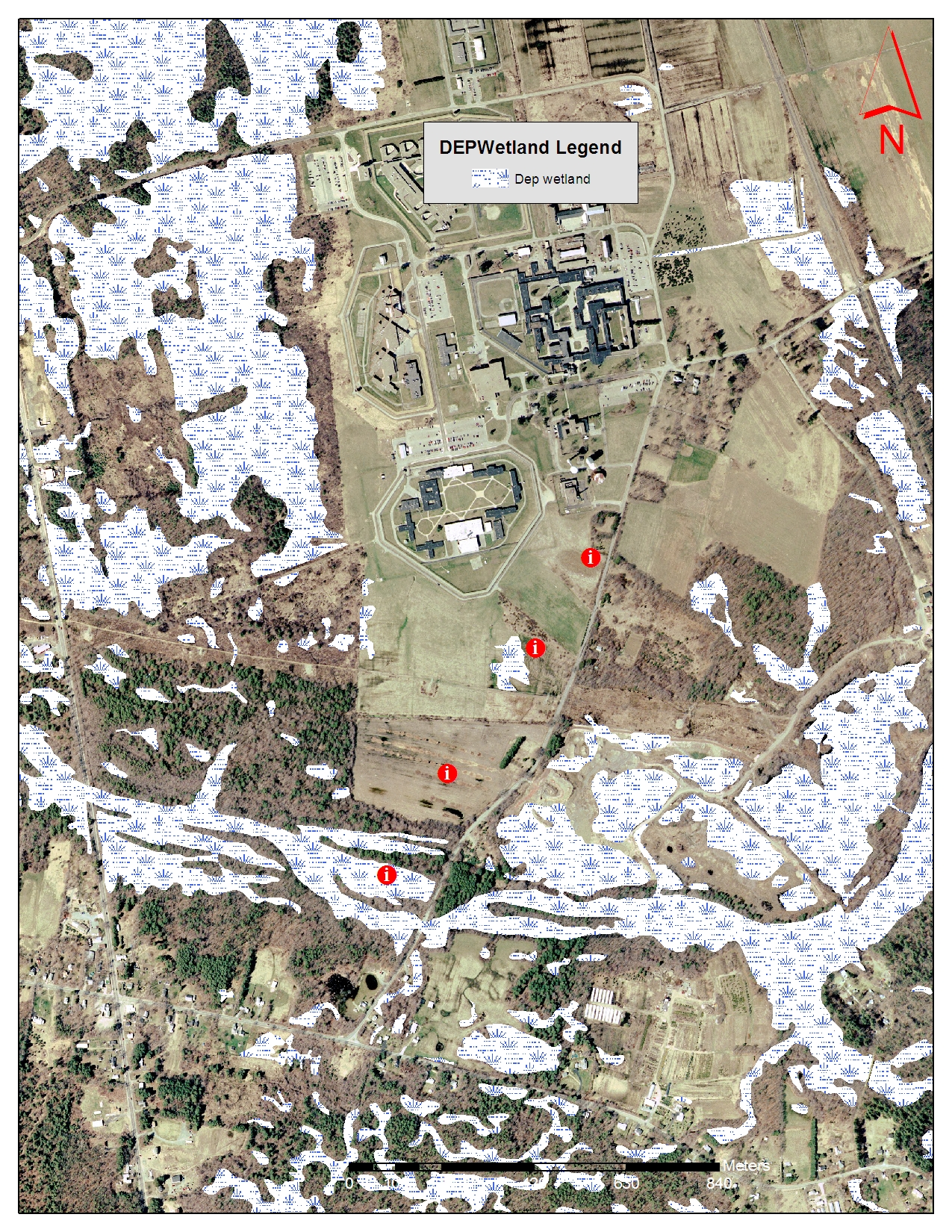 |
DEP 5K Wetlands http://www.mass.gov/mgis/wetdep.htm
|
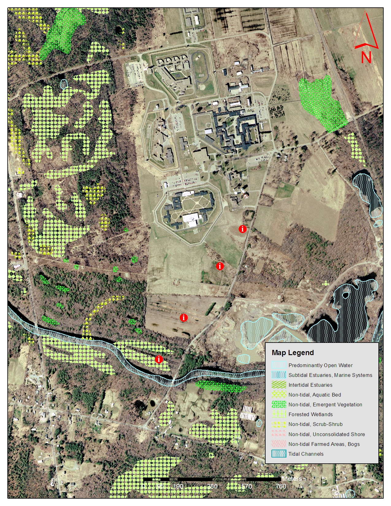 |
NWI Wetlands http://www.mass.gov/mgis/nwi.htm
|
 |
FEMA Q3 http://www.mass.gov/mgis/q3.htm
|
 |
Title V Setbacks http://www.mass.gov/mgis/t5.htm
|
 |
Updated Soil Survey (not published yet) 1:4,000
http://nesoil.com/plymouth/index.htm |
 |
Hydric Soils Description of Units: http://nesoil.com/gis/sesoilcd.htm#attribute |
 |
Soil Parent Material Description of Units: http://nesoil.com/gis/sesoilcd.htm#attribute
|
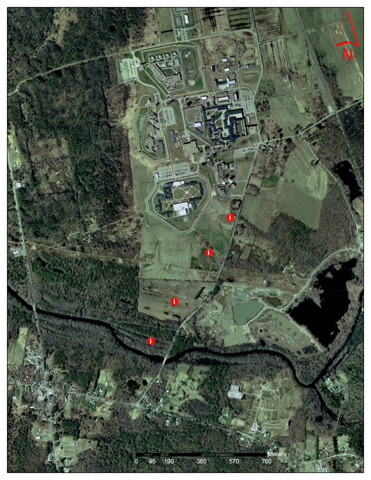 |
2008 Ortho Photo |
Afternoon Sites: Westport Vineyard
Customized Soil Survey Report made using the
Web Soil
Survey
Click Here for the PDF Report (5MB)
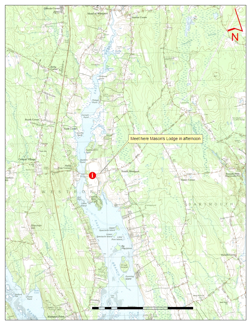 |
Topo Map 1:24,000 |
 |
Topo Map 1:12,000 |
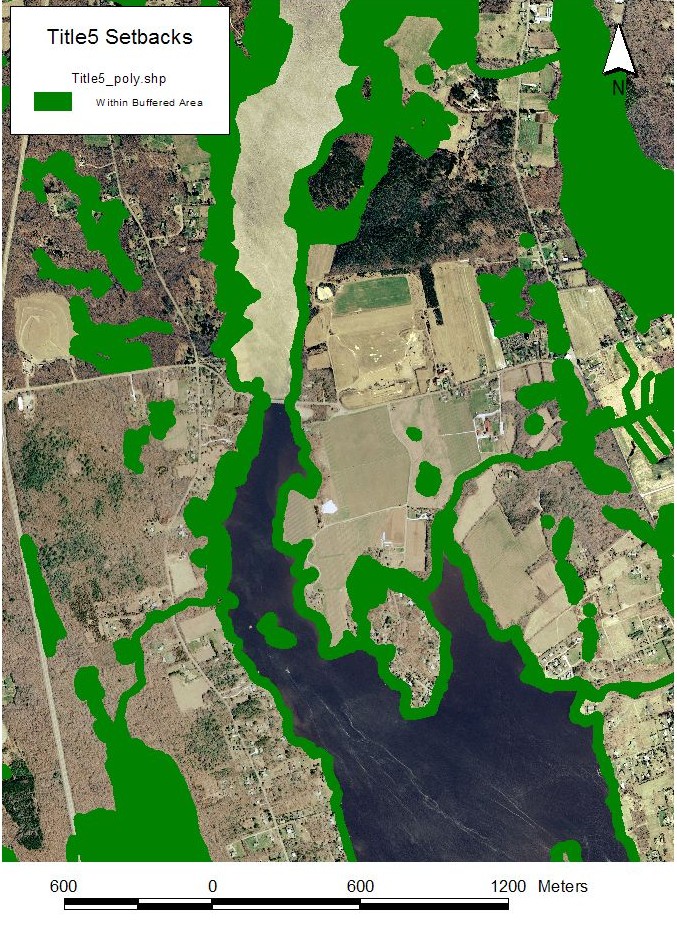 |
Title 5 Setbacks |
 |
FEMA Q3 Flood Zones |
 |
Ortho Photo |
 |
DEP 5K Wetlands |
 |
Soil Map Map Unit Descriptions: Map Unit Legend Soil Survey PDF Copy (large file): Click here to download this survey and view maps PDF Copy of Published Soil Map: AS19.PDF Soil Data Mart: Visit the Soil Data Mart to Download Digital Soil Data for Bristol County and Generate Reports Customized Soil Survey Report made using the
Web Soil
Survey |
 |
Soil Parent Material Map http://nesoil.com/gis/sesoilcd.htm#pm
|
| 2008 Ortho Photo |