Plymouth
County Soil Survey
Ground
penetrating radar investigations on Cranberry Beds
Related Articles: Using GPR, GPS and GIS to Inventory
Peat Resources of Cranberry Beds in Massachusetts
|Guide
to Interpreting Radar Profiles |
Instructions
on how to download GPS data and create contour maps
GPR Investigations
on Cranberry Beds in Plymouth County, MA (Article from 2nd Govt Workshop on
GPR)
Numerous Cranberry beds have been investigated with the GPR. The data for the bog you clicked on is not available on this web page. If you would like the information please contact the Soil Survey office at 508-295-5151 x2 or email jimturenne@gmail.com
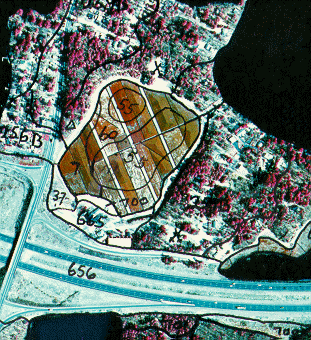
Since the early 1990's the Plymouth County Soil Survey has been using the ground-penetrating radar (GPR) to map the soil and geologic deposits within areas used to produce cranberries. The early studies showed a wide variety of uses for GPR technology on the organic soils used for cranberry production (1). The GPR data help to establish cranberry bed soil map units and interpretive data for the use and management of cranberry bed soils. (A Guide To Understanding Cranberry Bed Map Units ).
Examples of GPR Data from Cranberry Beds:
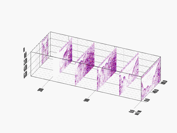
3D Time slice cross section of GPR profiles from a cranberry
bed:
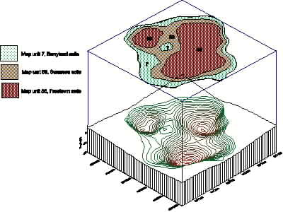
Graphic above shows a 3-dimensional diagram of a peat-filled kettle hole and the corresponding soil map units, the bottom image is a soil map showing the cranberry bed map units.
|
|
|
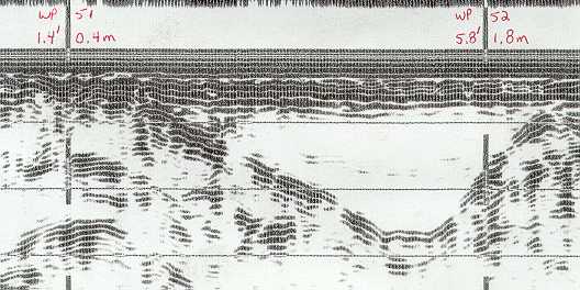
GPR Profile of a cranberry bed.
(1) Doolittle, J., Davenport, J., Fletcher, P., Turenne, J. 1990. Morphometry of cranberry bogs formed in kettles and outwash channels in southeast Massachusetts. P. 83-92. IN: (Eds) j. m. Kimble. Proceedings Eight International Soil Correlation Meeting (VII ISCOM) : Characterization, Classification and Utilization of Wet Soils. Louisiana and Texas. 6 to 21 October 1990. p. 327.